Saudi Arabia Geography
What is the terrain and geography like in Saudi Arabia?
Overview
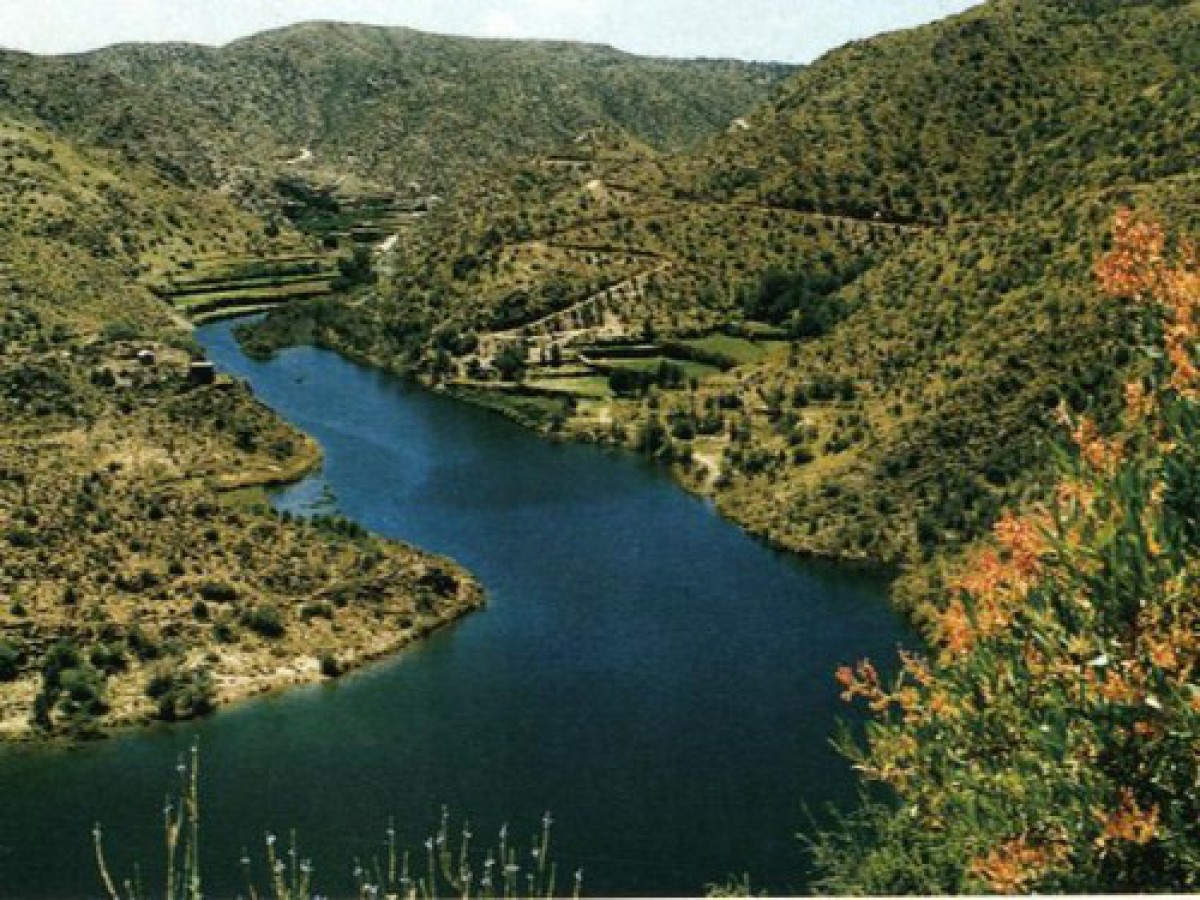
Saudi Arabia lies in the area known as the Middle-East the meeting place of the continents of Asia, Africa, and Europe. It occupies much of the Arabian Peninsula and has a land area of about 830,000 square miles. The vast uninhabited Empty Quarter, al-Rub'al-Khali, is the largest single body of sand in the world. The principal cultivated areas are in the Asir Highlands in the Southwestern Province and in the Hasa Eastern Province along the Arabian Gulf.The country is divided administratively into 14 provinces, including the Hijaz, the Asir, the Nejd, Al-Hasa, and the Northern Province, each headed by a governor or emir. The topography varies from vast stretches of sand to rugged mountain ranges. From the Gulf of Aqaba south to Yemen lies a dry, narrow coastal plain bordering the Red Sea. East of the plain, a narrow chain of mountains rises to 9,000 feet. This entire region, traditionally called the Hijaz, is now known as the Western Region. The same mountain chain rises to 12,000 feet and becomes more rugged in the south near Yemen. This portion, known as the Asir, has more rainfall than any other part of the country. Its dense population, villages, terraced farms, and green forests are more reminiscent of Africa than the Desert Kingdom.
The Nejd, the heartland of Saudi Arabia, is the ancestral home of the Al-Saud, the Kingdom’s ruling family. This area contains the heaviest concentration of nomadic Bedouin, who still lead their flocks of sheep, goats, and camels across the land in search of pastures. But the Bedouin are modernizing, and water trucks are now common sights near their tent encampments.
The Eastern Province, Al-Hasa, although largely desert, contains most of the nation's oilfields. Besides oil, two large oases, Qatif and Hofuf, support substantial agricultural production. Most activity and population are centered around the market city of Al-Khobar; Dhahran, site of the Saudi Arabian Oil Company (ARAMCO) complex; and the busy port of Dammam.
Geography - note
Saudi Arabia is the largest country in the world without a river; extensive coastlines on the Persian Gulf and Red Sea provide great leverage on shipping (especially crude oil) through the Persian Gulf and Suez CanalSaudi Arabia Use of Natural Resources
| Geographic Location | Middle East |
| Total Area |
829,995 Square Miles 2,149,690 Square Kilometers |
| Land Area |
829,995 Square Miles 2,149,690 Square Kilometers |
| Land Boundaries |
2,753 Miles 4,431 Kilometers |
| Irrigated Land |
6,255 Square Miles 16,200 Square Kilometers |
| Border Countries | Iraq 814 km, Jordan 744 km, Kuwait 222 km, Oman 676 km, Qatar 60 km, UAE 457 km, Yemen 1,458 km |
| Coastline |
1,640 Miles 2,640 Kilometers |
| Geographic Coordinates | 25 00 N, 45 00 E |
| Terrain | mostly uninhabited, sandy desert |
| Highest Point | 3,133 Meters |
| Highest Point Location | Jabal Sawda' 3,133 m |
| Lowest Point Location | Persian Gulf 0 m |
| Natural Resources | petroleum, natural gas, iron ore, gold, copper |
| Time Zone | UTC+3 (8 hours ahead of Washington, DC, during Standard Time) |

