
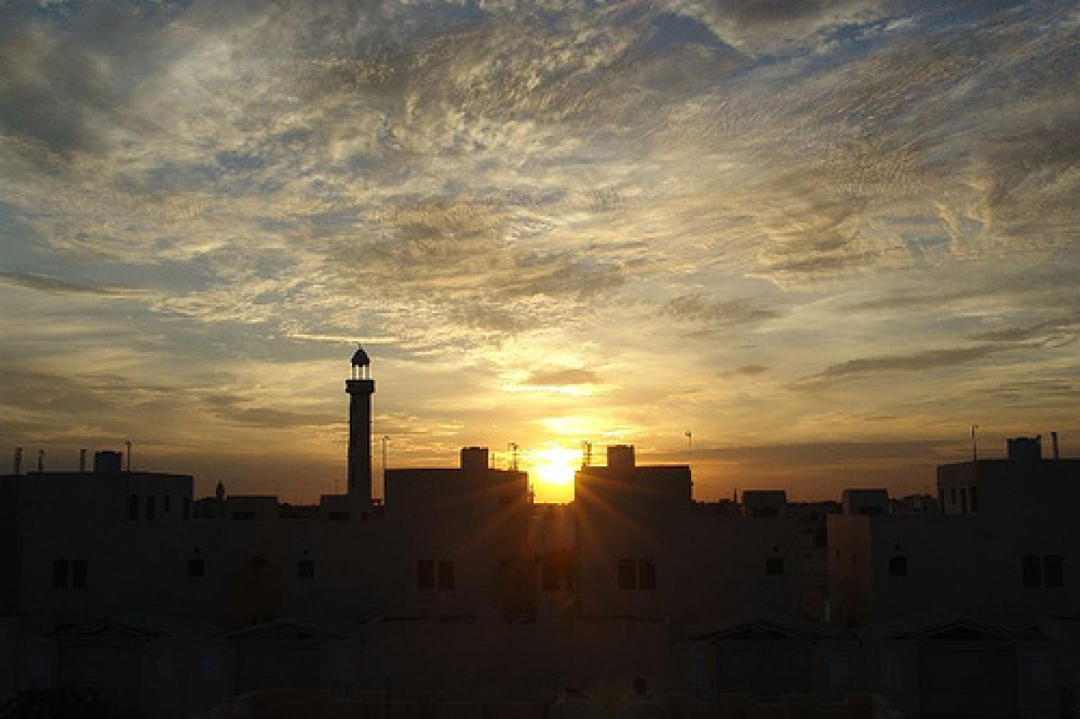
Qatar Geography
What is the terrain and geography like in Qatar?
Overview
A sovereign Arab State on the western shore of the Arabian Gulf, Qatar occupies a 4,200-square-mile peninsula and several small offshore islands. The Qatar Peninsula projects north into the Gulf for about 100 miles and has a maximum width of about 55 miles. The land is mainly flat (the highest point is 103 meters) and rocky. Notable features include coastal salt pans, elevated limestone formations (the Dukhan anticline) along the west coast, under which lies the Dukhan oil field, and massive dunes surrounding Khawr al Udayd, an inlet of the gulf in the southeast known to local English speakers as the Inland Sea.Of the islands belonging to Qatar, Halul is the most important. It lies about ninety kilometers east of Doha. A permanently settled island, it is a vital storage center and tanker terminal for three offshore oil fields. Hawar and the adjacent islands immediately off the west coast are the subject of a territorial dispute between Qatar and Bahrain.
The capital, Doha, is located on the central east coast on a sweeping (if shallow) harbor. Other ports include Umm Said, Al Khawr, and Al Wakrah. Only Doha and Umm Said can handle commercial shipping, although a large port and a terminal for loading natural gas are planned at Ras Laffan, north of Al Khawr. Coral reefs and shallow coastal waters make navigation difficult in areas where channels have not been dredged.
In the south, at the neck of the peninsula, Qatar borders the Kingdom of Saudi Arabia. Riyadh, the Saudi capital, lies 250 miles due west beyond the Jafura Desert.
The port of Abu Dhabi, the capital of the United Arab Emirates, is about 150 nautical miles southeast. The vast Rub' al-Khali Desert, one of the largest and driest deserts in the world, lies below Abu Dhabi and extends to Qatar's southern border.
Bahrain is the nearest seaward neighbor to the north. Although Bahrain's capital, Manama, is 100 miles from Doha, only 20 miles separate the two countries at the narrowest part of the channel into the Gulf of Salwa.
The Gulf's eastern (Iranian) shore is 120 miles beyond Qatar's northern tip. The nearest Iranian port, Busheir, lies about 250 miles east of Doha. The Iraqi port of Basra, on the north shore of the Gulf, is 350 miles away. The southern Strait of Hormuz, 310 miles from Doha, provides access to the Gulf of Oman and the Arabian Sea. Thus, Qatar occupies a central position in the Arabian Gulf.
The overall outline of the peninsula was not defined on European maps until well into the 19th century. However, Karsten Niebugh briefly described the arm in his Voyage en Arabie, published in Switzerland in 1780. The historical appearance of Qatari place names on European maps strongly suggests that, until recently, international navigators were familiar only with the northern end of the country and the eastern pearling banks.
Qatar's terrain is monotonously flat, except for the Dukhan anticline in the west and some low rock outcroppings at the northern end of the east coast. Blown sand covers much of the south, and shifting dunes predominate in the southeast. The Dukhan anticline rises from the west coast as a chain of separate hills of up to 325 feet in height, about 35 miles long and 3-5 miles wide, covering the country's onshore oil fields.
Natural vegetation, including semipermanent pasture, is limited to areas surrounding wells, depressions, and short drainage courses active only after the winter rains. Most flora is confined to the northern half of the country. Elsewhere, only sparse patches of camel thorn and isolated date palm plantations relieve the featureless terrain.
The coastline is uneven and rises gently on both sides of the peninsula. Sandy reefs abound in the surrounding shallows. Extensive salt flats at the landward end of the peninsula, between Salwa on the west coast and Khor al-Odeid on the east, support the local belief that Qatar was once an island, separated from what is now the Saudi Province of al-Hasa.
Geography - note
strategic location in central Persian Gulf near major petroleum depositsQatar Use of Natural Resources
| Geographic Location | Middle East |
| Total Area |
4,473 Square Miles 11,586 Square Kilometers |
| Land Area |
4,473 Square Miles 11,586 Square Kilometers |
| Land Boundaries |
37 Miles 60 Kilometers |
| Irrigated Land |
50 Square Miles 129 Square Kilometers |
| Border Countries | Saudi Arabia 60 km |
| Coastline |
350 Miles 563 Kilometers |
| Geographic Coordinates | 25 30 N, 51 15 E |
| Terrain | mostly flat and barren desert covered with loose sand and gravel |
| Highest Point | 103 Meters |
| Highest Point Location | Qurayn Abu al Bawl 103 m |
| Lowest Point Location | Persian Gulf 0 m |
| Natural Resources | petroleum, natural gas, fish |
| Time Zone | UTC+3 (8 hours ahead of Washington, DC, during Standard Time) |
World Regions
All Countries
Afghanistan
Akrotiri
Albania
Algeria
American Samoa
Andorra
Angola
Anguilla
Antarctica
Antigua and Barbuda
Argentina
Armenia
Aruba
Australia
Austria
Azerbaijan
Bahamas
Bahrain
Bangladesh
Barbados
Belarus
Belgium
Belize
Benin
Bermuda
Bhutan
Bolivia
Bosnia and Herzegovina
Botswana
Brazil
British Indian Ocean Territory
British Virgin Islands
Brunei
Bulgaria
Burkina Faso
Burma
Burundi
Cabo Verde
Cambodia
Cameroon
Canada
Cayman Islands
Central African Republic
Chad
Chile
China
Christmas Island
Clipperton Island
Cocos (Keeling) Islands
Colombia
Comoros
Congo, Democratic Republic of the
Congo, Republic of the
Cook Islands
Coral Sea Islands
Costa Rica
Cote d’Ivoire
Croatia
Cuba
Curacao
Cyprus
Czech Republic
Denmark
Dhekelia
Djibouti
Dominica
Dominican Republic
Ecuador
Egypt
El Salvador
Equatorial Guinea
Eritrea
Estonia
Eswatini
Ethiopia
Falkland Islands
Faroe Islands
Fiji
Finland
France
French Guiana
French Polynesia
Gabon
Gambia, The
Gaza Strip
Georgia
Germany
Ghana
Gibraltar
Greece
Greenland
Grenada
Guadeloupe
Guam
Guatemala
Guernsey
Guinea
Guinea-Bissau
Guyana
Haiti
Holy See
Honduras
Hong Kong
Hungary
Iceland
India
Indonesia
Iran
Iraq
Ireland
Isle of Man
Israel
Italy
Jamaica
Jan Mayen
Japan
Jersey
Jordan
Kazakhstan
Kenya
Kiribati
Korea, North
Korea, South
Kosovo
Kuwait
Kyrgyzstan
Laos
Latvia
Lebanon
Lesotho
Liberia
Libya
Liechtenstein
Lithuania
Luxembourg
Macau
Madagascar
Malawi
Malaysia
Maldives
Mali
Malta
Marshall Islands
Martinique
Mauritania
Mauritius
Mayotte
Mexico
Micronesia
Moldova
Monaco
Mongolia
Montenegro
Montserrat
Morocco
Mozambique
Namibia
Nauru
Nepal
Netherlands
New Caledonia
New Zealand
Nicaragua
Niger
Nigeria
Niue
Norfolk Island
North Macedonia
Northern Mariana Islands
Norway
Oman
Pakistan
Palau
Panama
Papua New Guinea
Paraguay
Peru
Philippines
Pitcairn Islands
Poland
Portugal
Puerto Rico
Qatar
Reunion
Romania
Russia
Rwanda
Saint Helena, Ascension, and Tristan da Cunha
Saint Kitts and Nevis
Saint Lucia
Saint Pierre and Miquelon
Saint Vincent and the Grenadines
Samoa
San Marino
Sao Tome and Principe
Saudi Arabia
Senegal
Serbia
Seychelles
Sierra Leone
Singapore
Slovakia
Slovenia
Solomon Islands
Somalia
South Africa
Spain
Sri Lanka
Sudan
Sudan, South
Suriname
Svalbard
Sweden
Switzerland
Syria
Taiwan
Tajikistan
Tanzania
Thailand
Timor-Leste
Togo
Tokelau
Tonga
Trinidad and Tobago
Tunisia
Turkey
Turkmenistan
Turks and Caicos Islands
Tuvalu
Uganda
Ukraine
United Arab Emirates
United Kingdom
United States (US)
Uruguay
Uzbekistan
Vanuatu
Venezuela
Vietnam
Virgin Islands
Wake Island
Wallis and Futuna
West Bank
Western Sahara
World
Yemen
Zambia
Zimbabwe