Portugal Geography
What is the terrain and geography like in Portugal?
Overview
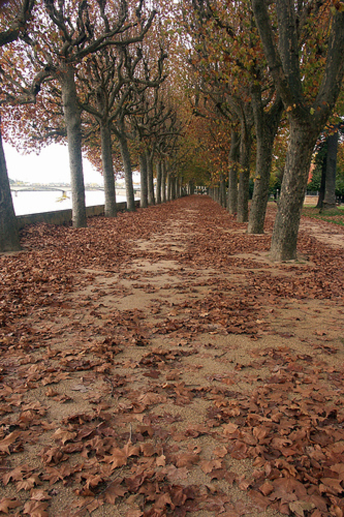
Portugal, in Europe’s southwest corner, is part of the Iberian Peninsula. The country is made up of the mainland and the Azores and Madeira Islands. On the north and east, Portugal is bordered by Spain; on the south and west by the Atlantic Ocean.The Tagus River, flowing west into the Atlantic at Lisbon divides mainland Portugal into two distinct topographical and climatic regions. The northern part of the country is mountainous. Its climate is relatively cool and rainy. In the south there are low, rolling plains. The climate is drier and warmer, particularly in the interior.
Lying about 800 miles west of Lisbon in the Atlantic Ocean, the Azores are a chain of nine mountainous islands of volcanic origin. Their climate tends to be moist and moderate throughout the year. The total land area of the nine islands is 888 sq. miles.
The two main islands and the numerous smaller, uninhabited islands that make up the Madeira chain are located in the Atlantic Ocean about 350 miles west of Morocco. The islands are mountainous and rugged, with a mild year-round climate. Total land area is slightly over 300 sq. miles.
Geography - note
Azores and Madeira Islands occupy strategic locations along western sea approaches to Strait of GibraltarPortugal Use of Natural Resources
| Geographic Location | Europe |
| Total Area |
35,556 Square Miles 92,090 Square Kilometers |
| Land Area |
35,317 Square Miles 91,470 Square Kilometers |
| Water Area |
239 Square Miles 620 Square Kilometers |
| Land Boundaries |
754 Miles 1,214 Kilometers |
| Irrigated Land |
2,254 Square Miles 5,837 Square Kilometers |
| Border Countries | Spain 1,214 km |
| Coastline |
1,114 Miles 1,793 Kilometers |
| Geographic Coordinates | 39 30 N, 8 00 W |
| Terrain | mountainous north of the Tagus River, rolling plains in south |
| Highest Point | 2,351 Meters |
| Highest Point Location | Ponta do Pico (Pico or Pico Alto) on Ilha do Pico in the Azores 2,351 m |
| Lowest Point Location | Atlantic Ocean 0 m |
| Natural Resources | fish, forests (cork), iron ore, copper, zinc, tin, tungsten, silver, gold, uranium, marble, clay, gypsum, salt, arable land, hydropower |
| Time Zone |
UTC 0 (5 hours ahead of Washington, DC, during Standard Time) time zone note: Portugal has two time zones, including the Azores (UTC-1) |
| Daylight saving time | +1hr, begins last Sunday in March; ends last Sunday in October |