
Peru Geography
What is the terrain and geography like in Peru?
Overview
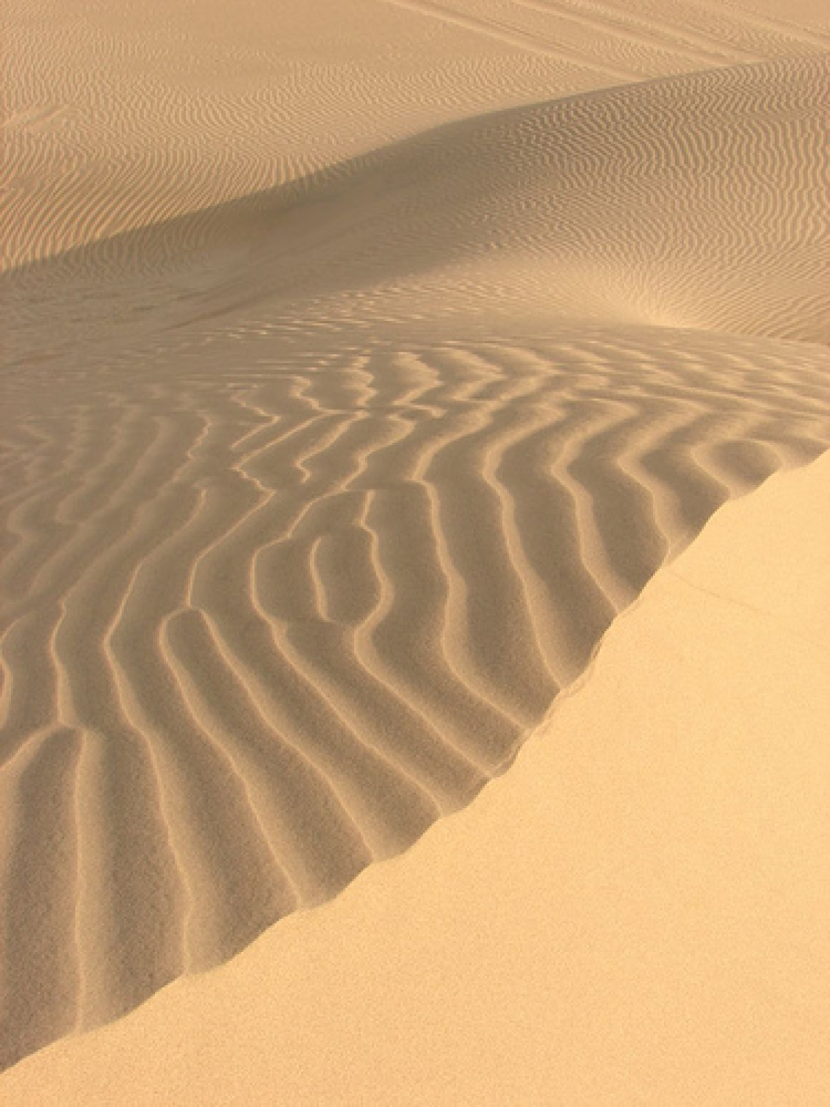
Peru is on the West Coast of South America, south of the Equator, between 0 and 18 degrees south latitude and, 70 degrees and 81 degrees west longitude. With a population of about 27.94 million people, Peru is the fifth most populated country in Latin America.The country has four distinct geographic areas: the narrow coastal desert region (about 25 to 40 miles wide), barren except for irrigated valleys; the Andean highlands or sierra, containing some of the world's highest mountains; the "ceja de montana" (eyebrow of the mountain), a long narrow strip of mountainous jungle on the eastern slope of the Andes; and the selva or rain forest area which covers over half the country, including the vast Amazon River Basin and the Madre de Dios River Basin.
The Sierra, covering one-fourth of Peru, is an area of uneven population distribution, rich in mineral wealth. Many of its inhabitants live at elevations above 10,000 feet. The Selva region is sparsely populated and only partially explored. The climate in the "ceja de montana" varies with the elevation from temperate to tropical.
Because Lima lies on an axis of instability in the Earth's crust, seismic activity is common. Light earthquakes called "temblores" occur but seldom cause damage. A strong earthquake occurred in Lima, Callao, and environs on May 24, 1940, causing major damage with over 2,000 casualties. Serious earthquakes also occurred in Cuzco (1950), Arequipa (1958 and 1960), the Lima-Callao area (1966-74), and Chimbote and the Callejon de Huaylas (1970).
Between May 1998 and May 1999, 85 light earthquakes occurred and the strongest of these earthquakes were in Arequipa, Lima, and Huancayo.
Geography - note
Shares control of Lago Titicaca, the world's highest navigable lake, with Bolivia; a remote slope of Nevado Mismi, a 5,316 m peak, is the ultimate source of the Amazon RiverPeru Use of Natural Resources
| Geographic Location | South America |
| Total Area |
496,222 Square Miles 1,285,216 Square Kilometers |
| Land Area |
494,206 Square Miles 1,279,996 Square Kilometers |
| Water Area |
2,015 Square Miles 5,220 Square Kilometers |
| Land Boundaries |
4,636 Miles 7,461 Kilometers |
| Irrigated Land |
4,618 Square Miles 11,960 Square Kilometers |
| Border Countries | Bolivia 1,075 km, Brazil 2,995 km, Chile 171 km, Colombia 1,800 km, Ecuador 1,420 km |
| Coastline |
1,500 Miles 2,414 Kilometers |
| Geographic Coordinates | 10 00 S, 76 00 W |
| Terrain | Western coastal plain (Costa), high and rugged Andes in the center (Sierra), eastern lowland jungle of Amazon Basin (Selva) |
| Highest Point | 6,768 Meters |
| Highest Point Location | Nevado Huascaran 6,768 m |
| Lowest Point Location | Pacific Ocean 0 m |
| Natural Resources | Copper, silver, gold, petroleum, timber, fish, iron ore, coal, phosphate, potash, hydropower, natural gas |
| Time Zone | UTC-5 (same time as Washington, DC, during Standard Time) |
World Regions
All Countries
Afghanistan
Akrotiri
Albania
Algeria
American Samoa
Andorra
Angola
Anguilla
Antarctica
Antigua and Barbuda
Argentina
Armenia
Aruba
Australia
Austria
Azerbaijan
Bahamas
Bahrain
Bangladesh
Barbados
Belarus
Belgium
Belize
Benin
Bermuda
Bhutan
Bolivia
Bosnia and Herzegovina
Botswana
Brazil
British Indian Ocean Territory
British Virgin Islands
Brunei
Bulgaria
Burkina Faso
Burma
Burundi
Cabo Verde
Cambodia
Cameroon
Canada
Cayman Islands
Central African Republic
Chad
Chile
China
Christmas Island
Clipperton Island
Cocos (Keeling) Islands
Colombia
Comoros
Congo, Democratic Republic of the
Congo, Republic of the
Cook Islands
Coral Sea Islands
Costa Rica
Cote d’Ivoire
Croatia
Cuba
Curacao
Cyprus
Czech Republic
Denmark
Dhekelia
Djibouti
Dominica
Dominican Republic
Ecuador
Egypt
El Salvador
Equatorial Guinea
Eritrea
Estonia
Eswatini
Ethiopia
Falkland Islands
Faroe Islands
Fiji
Finland
France
French Guiana
French Polynesia
Gabon
Gambia, The
Gaza Strip
Georgia
Germany
Ghana
Gibraltar
Greece
Greenland
Grenada
Guadeloupe
Guam
Guatemala
Guernsey
Guinea
Guinea-Bissau
Guyana
Haiti
Holy See
Honduras
Hong Kong
Hungary
Iceland
India
Indonesia
Iran
Iraq
Ireland
Isle of Man
Israel
Italy
Jamaica
Jan Mayen
Japan
Jersey
Jordan
Kazakhstan
Kenya
Kiribati
Korea, North
Korea, South
Kosovo
Kuwait
Kyrgyzstan
Laos
Latvia
Lebanon
Lesotho
Liberia
Libya
Liechtenstein
Lithuania
Luxembourg
Macau
Madagascar
Malawi
Malaysia
Maldives
Mali
Malta
Marshall Islands
Martinique
Mauritania
Mauritius
Mayotte
Mexico
Micronesia
Moldova
Monaco
Mongolia
Montenegro
Montserrat
Morocco
Mozambique
Namibia
Nauru
Nepal
Netherlands
New Caledonia
New Zealand
Nicaragua
Niger
Nigeria
Niue
Norfolk Island
North Macedonia
Northern Mariana Islands
Norway
Oman
Pakistan
Palau
Panama
Papua New Guinea
Paraguay
Peru
Philippines
Pitcairn Islands
Poland
Portugal
Puerto Rico
Qatar
Reunion
Romania
Russia
Rwanda
Saint Helena, Ascension, and Tristan da Cunha
Saint Kitts and Nevis
Saint Lucia
Saint Pierre and Miquelon
Saint Vincent and the Grenadines
Samoa
San Marino
Sao Tome and Principe
Saudi Arabia
Senegal
Serbia
Seychelles
Sierra Leone
Singapore
Slovakia
Slovenia
Solomon Islands
Somalia
South Africa
Spain
Sri Lanka
Sudan
Sudan, South
Suriname
Svalbard
Sweden
Switzerland
Syria
Taiwan
Tajikistan
Tanzania
Thailand
Timor-Leste
Togo
Tokelau
Tonga
Trinidad and Tobago
Tunisia
Turkey
Turkmenistan
Turks and Caicos Islands
Tuvalu
Uganda
Ukraine
United Arab Emirates
United Kingdom
United States (US)
Uruguay
Uzbekistan
Vanuatu
Venezuela
Vietnam
Virgin Islands
Wake Island
Wallis and Futuna
West Bank
Western Sahara
World
Yemen
Zambia
Zimbabwe