Morocco Geography
What is the terrain and geography like in Morocco?
Overview
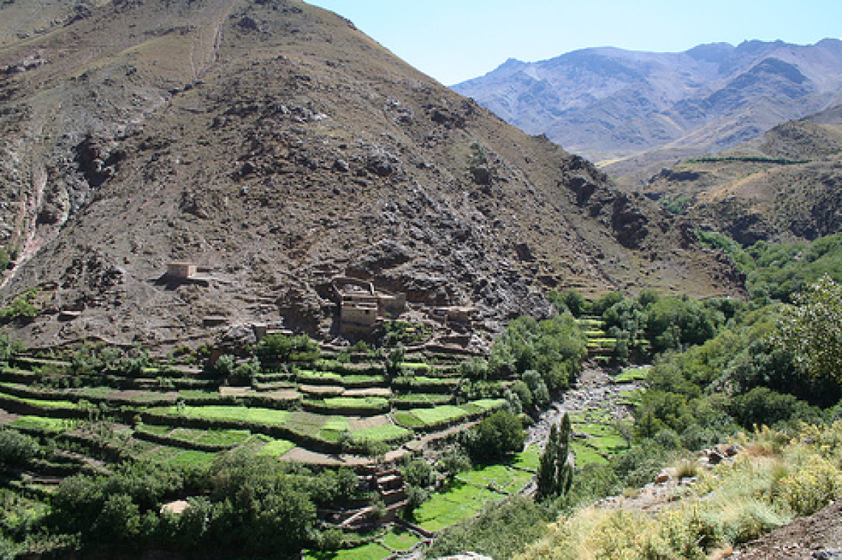
Morocco has been called "a cold country with a hot sun." Situated in the northwest corner of Africa, the Kingdom of Morocco covers nearly 200,000 square miles. Because of its geographical location, Morocco is known in Arabic as El Maghreb el Aqsa, the extreme west and also the gateway to the Arab world.The mild, semitropical northern and western coastal areas are separated by mountain ranges from the desert areas to the east and south. Most people live west of the mountain ranges, which protect them from the hot winds of the Sahara Desert. In the southern regions, the population is sparse and concentrated in scattered oases along the Draa and Souss Rivers.
Between Morocco's western coast and the mountains lies a wide plain, the Gharb, which produces most of the country's agricultural products. The High Atlas, the Middle Atlas, and the Anti-Atlas mountain ranges traverse the country from northeast to southwest. Summits of the High Atlas Mountains reach 13,664 feet at Mt. Toubkal, and 12,300 feet at Mt. Ayachi.
Morocco can be seen from the coast of Spain, some 20 kilometers across the Straits of Gibraltar. Twice, it was the stage for invasions of Europe - the Moorish assault on Spain in the eighth century and the Allied assault on the continent in World War II. Today, jet airliners fly over plodding camel trains and farmers tilling with implements unchanged since the time of the Romans. Moroccan cities typically are made up of a traditional medina that is a maze of narrow streets and small shops harkening back centuries, as well as modern shopping and residential districts with tree-lined boulevards that reflect early twentieth century French ideas of urban planning.
Geography - note
strategic location along Strait of GibraltarMorocco Use of Natural Resources
| Geographic Location | Africa |
| Total Area |
172,413 Square Miles 446,550 Square Kilometers |
| Land Area |
172,316 Square Miles 446,300 Square Kilometers |
| Water Area |
97 Square Miles 250 Square Kilometers |
| Land Boundaries |
1,254 Miles 2,018 Kilometers |
| Irrigated Land |
5,734 Square Miles 14,850 Square Kilometers |
| Border Countries | Algeria 1,559 km, Western Sahara 443 km, Spain (Ceuta) 6.3 km, Spain (Melilla) 9.6 km |
| Coastline |
1,140 Miles 1,835 Kilometers |
| Geographic Coordinates | 32 00 N, 5 00 W |
| Terrain | northern coast and interior are mountainous with large areas of bordering plateaus, intermontane valleys, and rich coastal plains |
| Highest Point | 4,165 Meters |
| Highest Point Location | Jbel Toubkal 4,165 m |
| Lowest Point | -55 Meters |
| Lowest Point Location | Sebkha Tah -55 m |
| Natural Resources | phosphates, iron ore, manganese, lead, zinc, fish, salt |
| Time Zone | UTC+1 (6 hours ahead of Washington, DC, during Standard Time) |
| Daylight saving time | +1 hr, begins last Sunday in April; ends last Sunday in September |

