Malta Geography
What is the terrain and geography like in Malta?
Overview
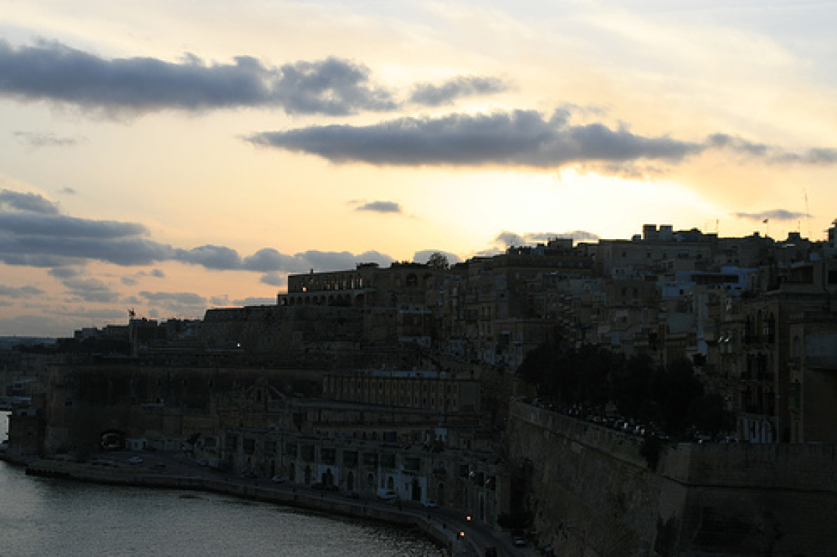
Malta is a small archipelago of six islands and islets in the center of the Mediterranean and takes its name from the main island in the group. Malta (95 sq. mi.) is the largest island of the group, followed by Gozo (26 sq. mi.) and Comino (1 sq. mi.). Malta, Gozo, and Comino are inhabited, while Cominotto, Filfla, and St. Paul's are small, uninhabited islets. The longest distance on Malta is about 17 miles, from southeast to northwest; the widest part is 9 miles from east to west. The same figures for Gozo are 9 miles and 4-1/2 miles. Gozo lies northwest of Malta across a narrow channel. Malta's shoreline is 85 miles; Gozo's is 27. The islands are formed of soft limestone which is the characteristic construction material used in most Maltese buildings.The terrain consists of low hills with terraced fields on slopes, with two small seasonal lakes and a few seasonal streams. Northern Malta is a series of ridges, valleys, bays, and promontories. The western side of the island is dominated by 800-foot high cliffs. Shorelines are very rocky, but a few sandy beaches exist. The soil on the islands is generally thin and rocky, although in some valleys it is terraced and farmed. Gozo has more arable land than Malta, and Comino is almost completely barren. In summer, the landscape is brown and arid, but soon after fall the rains begin, and the countryside turns green. Malta lies near the center of the Mediterranean Sea, 58 miles south of Sicily, 180 miles from the North African coast. Gibraltar is 1,141 miles to the west, and Alexandria (Egypt) 944 miles to the east.
Geography - note
the country comprises an archipelago, with only the three largest islands (Malta, Ghawdex or Gozo, and Kemmuna or Comino) being inhabited; numerous bays provide good harbors; Malta and Tunisia are discussing the commercial exploitation of the continental shelf between their countries, particularly for oil explorationMalta Use of Natural Resources
| Geographic Location | Europe |
| Total Area |
122 Square Miles 316 Square Kilometers |
| Land Area |
122 Square Miles 316 Square Kilometers |
| Irrigated Land |
12 Square Miles 32 Square Kilometers |
| Coastline |
122 Miles 197 Kilometers |
| Geographic Coordinates | 35 50 N, 14 35 E |
| Terrain | mostly low, rocky, flat to dissected plains; many coastal cliffs |
| Highest Point | 253 Meters |
| Highest Point Location | Ta'Dmejrek 253 m (near Dingli) |
| Lowest Point Location | Mediterranean Sea 0 m |
| Natural Resources | limestone, salt, arable land |
| Time Zone | UTC+1 (6 hours ahead of Washington, DC, during Standard Time) |
| Daylight saving time | +1hr, begins last Sunday in March; ends last Sunday in October |