Mali Geography
What is the terrain and geography like in Mali?
Overview
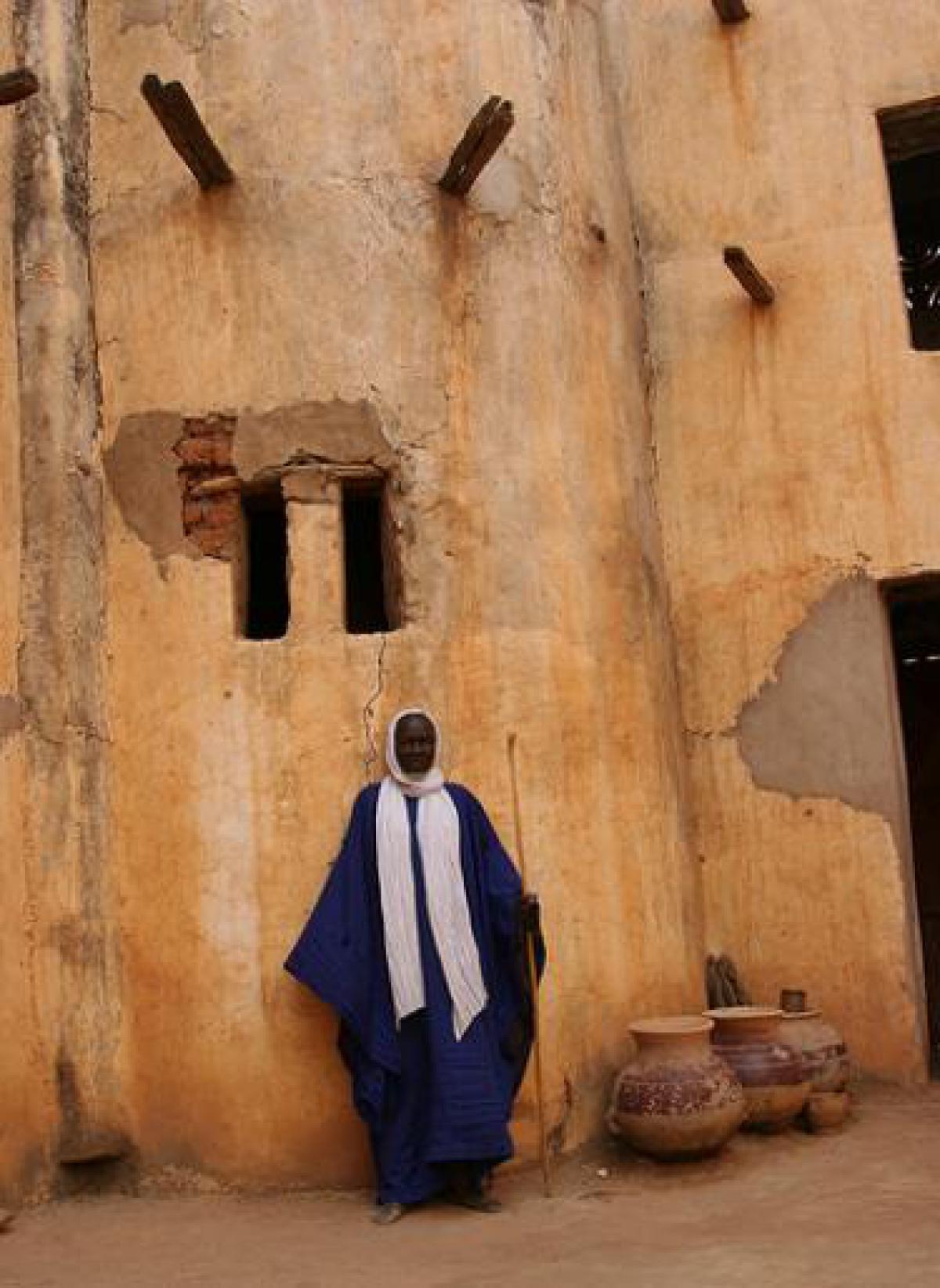
The Republic of Mali is located in the interior of West Africa, north of the Equator, reaching to the Tropic of Cancer. It is landlocked, sharing borders with seven other African nations. The capital city of Bamako lies at an elevation between 950 and 1,000 feet.Mali stretches across three different climatic regions. To the south is tropical Sudanese savanna, wooded grasslands broken occasionally by cliffs and rock formations, watered by the Niger and Senegal Rivers and their tributaries. In the middle are the semi-arid steppe-lands of the Sahel. Dry, sandy plains dotted with sparse trees and bushes and a vast plateau broken by isolated rocky masses characterize this transitional zone between the savanna and the desert to the north. This middle area comprises the rock buttes of Hombori, as well as the Bandiagara escarpment, famous as the home of the Dogon people. The desert zone in the north covers the largest area of Mali and is a hot, barren plain whose terrain is contoured by sand dunes and rocky outcroppings with little vegetation other than occasional patches of thorn bush.
Mali has two large river systems, the Senegal and the Niger. The Senegal River crosses into Mali from Guinea in the south and follows a northwest course into Senegal. The Niger River flows through the heart of Mali and serves as its most important waterway. The river courses 2,600 miles, the third longest in Africa, and played a large role in European exploration of Africa. The Niger flows northeast to the edge of the Sahara at Timbuktu where it turns east and then south, passing the town of Gao before entering Niger. The Niger is navigable from Koulikoro to Gao by large riverboats from August to November and by smaller craft for most of the rest of the year. Just beyond the Mali-Niger border, rapids prevent the riverboats from going further downstream into Niger.
Geography - note
landlocked; divided into three natural zones: the southern, cultivated Sudanese; the central, semiarid Sahelian; and the northern, arid SaharanMali Use of Natural Resources
| Geographic Location | Africa |
| Total Area |
478,838 Square Miles 1,240,192 Square Kilometers |
| Land Area |
471,115 Square Miles 1,220,190 Square Kilometers |
| Water Area |
7,723 Square Miles 20,002 Square Kilometers |
| Land Boundaries |
4,501 Miles 7,243 Kilometers |
| Irrigated Land |
910 Square Miles 2,358 Square Kilometers |
| Border Countries | Algeria 1,376 km, Burkina Faso 1,000 km, Guinea 858 km, Cote d'Ivoire 532 km, Mauritania 2,237 km, Niger 821 km, Senegal 419 km |
| Geographic Coordinates | 17 00 N, 4 00 W |
| Terrain | mostly flat to rolling northern plains covered by sand; savanna in south, rugged hills in northeast |
| Highest Point | 1,155 Meters |
| Highest Point Location | Hombori Tondo 1,155 m |
| Lowest Point | 23 Meters |
| Lowest Point Location | Senegal River 23 m |
| Natural Resources | gold, phosphates, kaolin, salt, limestone, uranium, hydropower |
| Time Zone | UTC 0 (5 hours ahead of Washington, DC, during Standard Time) |