Malaysia Geography
What is the terrain and geography like in Malaysia?
Overview
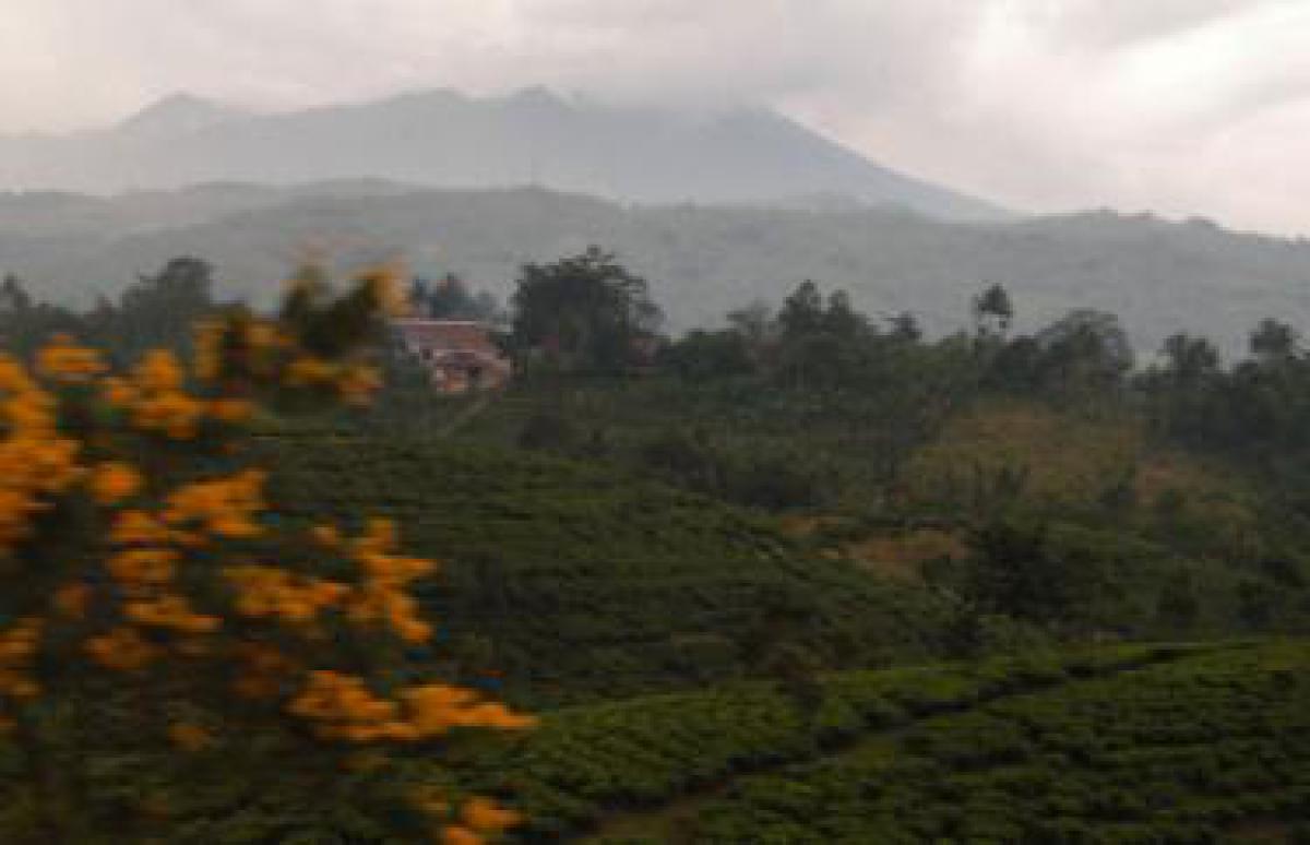
Peninsular Malaysia extends south for 800 kilometers from Thailand’s Isthmus of Kra to Singapore and the Indonesian Archipelago. Sabah and Sarawak, the States of East Malaysia lie 600 kilometers to the east across the South China Sea. These two States, former British colonies on the northeast coast of Borneo, stretch for 1,000 kilometers to the southern islands of the Philippines.A central mountain range with peaks rising to 2,100 meters divides Peninsular Malaysia. Scenic coastal plains lie on either side of the mountains; most of the population lives in the plains and foothills of the western coast along the Straits of Malacca. The eastern coast, along the South China Sea, has beautiful white, sandy beaches, but fewer people. Between the two coasts lie the mountains and an often-impenetrable jungle. Primary forest covers 60% of Malaysia and contains a variety of flowering plants and immense, but now diminishing, timber reserves. Vegetation, even in the cities, is lush and tropical. Forest wildlife includes gibbons; tigers; elephants; mouse deer; countless species of birds, monkeys and insects; and, in Sabah and Sarawak, the orangutan.
Geography - note
strategic location along Strait of Malacca and southern South China SeaMalaysia Use of Natural Resources
| Geographic Location | Southeast Asia |
| Total Area |
127,354 Square Miles 329,847 Square Kilometers |
| Land Area |
126,894 Square Miles 328,657 Square Kilometers |
| Water Area |
459 Square Miles 1,190 Square Kilometers |
| Land Boundaries |
1,658 Miles 2,669 Kilometers |
| Irrigated Land |
1,467 Square Miles 3,800 Square Kilometers |
| Border Countries | Brunei 381 km, Indonesia 1,782 km, Thailand 506 km |
| Coastline |
2,905 Miles 4,675 Kilometers |
| Geographic Coordinates | 2 30 N, 112 30 E |
| Terrain | coastal plains rising to hills and mountains |
| Highest Point | 4,100 Meters |
| Highest Point Location | Gunung Kinabalu 4,100 m |
| Lowest Point Location | Indian Ocean 0 m |
| Natural Resources | tin, petroleum, timber, copper, iron ore, natural gas, bauxite |
| Time Zone | UTC+8 (13 hours ahead of Washington, DC, during Standard Time) |