Madagascar Geography
What is the terrain and geography like in Madagascar?
Overview
Madagascar, the world's fourth-largest island after Greenland, New Guinea and Borneo, is situated in the Indian Ocean 250 miles off the southeast coast of Africa. Covering 226,658 square miles, it is 995 miles long and 360 miles across at its widest point. Madagascar extends from 8 to 26 degrees south latitudeThe east coast of Madagascar is virtually a straight line facing the Indian Ocean. The western coastline, facing the Mozambique Channel and Africa, is more contoured. A spine of mountains running the length of the island from north to south creates a distinct geographical division between the east and west. Along the crest of this ridge lie the central highlands, a plateau region ranging in altitude from 2,450 to 4,400 feet above sea level. This central ridge is punctuated by higher mountain massifs in three areas: by the Tsaratanana Mountain massif in the far north; by the Ankaratra massif in the central area south of the capital, Antananarivo; and by the Andringitra massif further south.
The central highlands are characterized by terraced, rice-growing valleys nestled among barren hills. Here, the crust of red laterite that covers much of the island has been exposed by erosion, showing why the country is known as "the Great Red Island." Toward the east, a steep escarpment leads from the central highlands down through a strip of dense rain forest to a narrow coastal plain. The Canal des Pangalanes, a chain of natural and man-made lakes connected by canals, runs parallel to the eastern coast for some 300 miles.
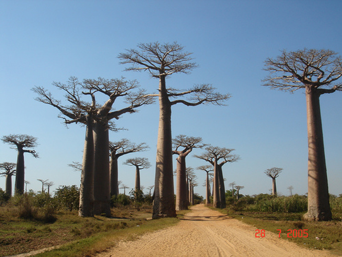
The descent from the central highlands toward the west is more gradual, and is characterized by remnants of deciduous forest and savannah-like plains. In the south and southwest, these plains become quite dry, and it is here that one finds the unique spiny desert and famous baobabs.
In the north of the island, the Tsaratanana Mountain massif (at 9,468 feet, the highest point in Madagascar) separates Diego Suarez, one of the world's great natural harbors, from the rest of the island.
Geography - note
world's fourth-largest island; strategic location along Mozambique ChannelMadagascar Use of Natural Resources
| Geographic Location | Africa |
| Total Area |
226,657 Square Miles 587,041 Square Kilometers |
| Land Area |
224,533 Square Miles 581,540 Square Kilometers |
| Water Area |
2,124 Square Miles 5,501 Square Kilometers |
| Irrigated Land |
4,193 Square Miles 10,860 Square Kilometers |
| Coastline |
3,000 Miles 4,828 Kilometers |
| Geographic Coordinates | 20 00 S, 47 00 E |
| Terrain | narrow coastal plain, high plateau and mountains in center |
| Highest Point | 2,876 Meters |
| Highest Point Location | Maromokotro 2,876 m |
| Lowest Point Location | Indian Ocean 0 m |
| Natural Resources | graphite, chromite, coal, bauxite, salt, quartz, tar sands, semiprecious stones, mica, fish, hydropower |
| Time Zone | UTC+3 (8 hours ahead of Washington, DC, during Standard Time) |

