Guyana Geography
What is the terrain and geography like in Guyana?
Overview
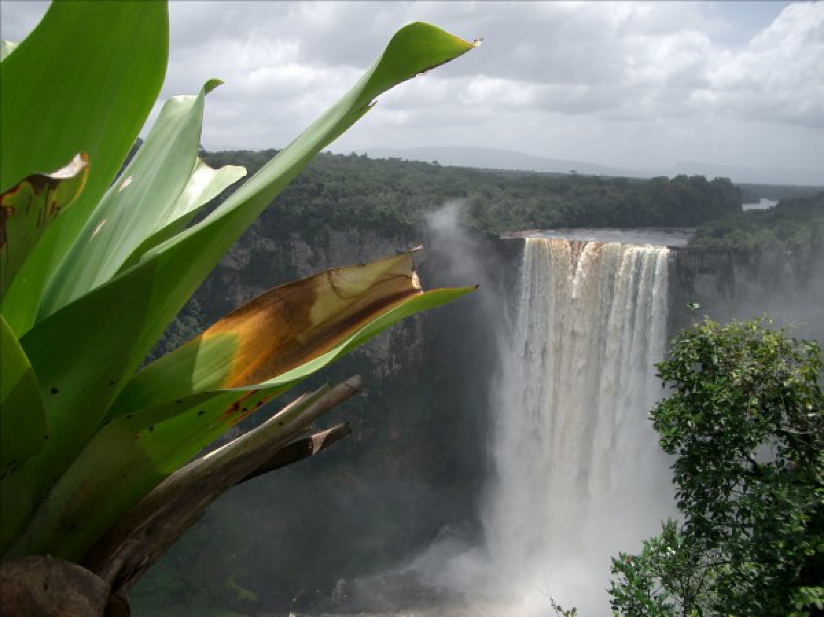
Guyana lies on the northern coast of South America. Its 285-mile coastline extends from Punta Playa (near the mouth of the Orinoco River) in the northwest to the Corentyne River in the east. The low-lying coastland, one of Guyana's three geographic regions, is a flat, often swampy strip of silt and clay about 5-1/2 feet below sea level at high tide. Man-made concrete walls and earthen barriers keep the ocean back and prevent floods. Canals with sluice gates permit drainage to the rivers, and at low tide, to the sea. Most of the country's population and agricultural activity are concentrated in this narrow coastal strip between the Pomeroon and Corentyne Rivers.The mountain region includes the Pakaraima Range, which lies along the western boundary between the Waini and Rupununi Rivers; a sandstone plateau 22 miles long and more than 9,000 feet above sea level; and the Kanaku Mountains, which lie on both sides of the Rupununi River near the Brazilian border.
The intermediate region, to the east and south of the coastal and mountain regions, is the largest of the three areas. It is mainly tropical forest and jungle, except for the Rupununi savanna on the southwestern border with Brazil. Large rivers and their tributaries form a vast network of waterways. Rapids and falls hinder navigation and development along the larger rivers. The principal rivers are the Essequibo, Demerara, Berbice, and Corentyne. The Cuyuni, Mazaruni, and Rupununi are major tributaries of the Essequibo River.
Geography - note
The third-smallest country in South America after Suriname and Uruguay; substantial portions of its western and eastern territories are claimed by Venezuela and Suriname respectivelyGuyana Use of Natural Resources
| Geographic Location | South America |
| Total Area |
83,000 Square Miles 214,969 Square Kilometers |
| Land Area |
76,003 Square Miles 196,849 Square Kilometers |
| Water Area |
6,996 Square Miles 18,120 Square Kilometers |
| Land Boundaries |
1,832 Miles 2,949 Kilometers |
| Irrigated Land |
580 Square Miles 1,501 Square Kilometers |
| Border Countries | Brazil 1,119 km, Suriname 600 km, Venezuela 743 km |
| Coastline |
285 Miles 459 Kilometers |
| Geographic Coordinates | 5 00 N, 59 00 W |
| Terrain | Mostly rolling highlands; low coastal plain; savanna in south |
| Highest Point | 2,835 Meters |
| Highest Point Location | Mount Roraima 2,835 m |
| Lowest Point Location | Atlantic Ocean 0 m |
| Natural Resources | Bauxite, gold, diamonds, hardwood timber, shrimp, fish |
| Time Zone | UTC-4 (1 hour ahead of Washington, DC, during Standard Time) |