Gabon Geography

What is the terrain and geography like in Gabon?

Overview

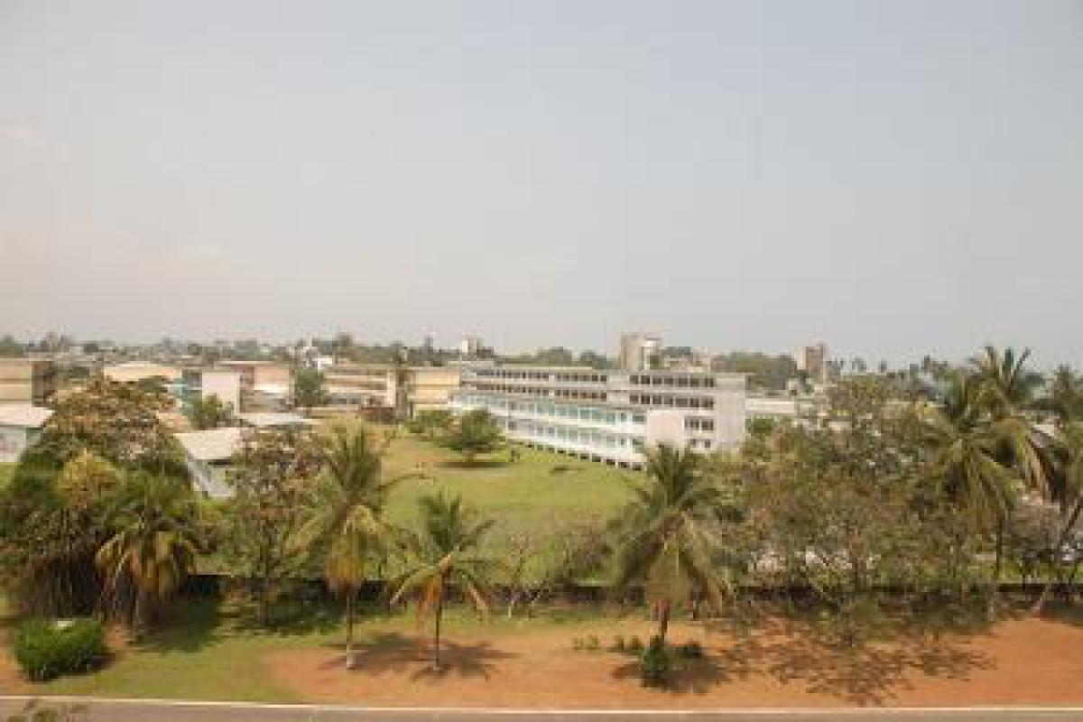
Gabon straddles the Equator on the west coast of Central Africa, bordered by Equatorial Guinea and the Republic of Cameroon on the north, and by the Republic of the Congo (Brazzaville) on the east and south. Gabon covers about 102,300 square miles, roughly the size of Colorado, or half the size of France.

Heavy equatorial rain forests cover nearly 85% of Gabon, with savanna areas in the southeastern and southwestern sections of the country covering an additional 10%. The remaining area is composed of bodies of water and developed areas. The Ogooue River, the largest river in West Africa between the Niger and the Congo, drains most of Gabon. Winding in a broad arc from southeastern Gabon to the country’s Atlantic coast, the Ogooue cuts through three major geographical regions: the coastal lowlands, the plateau region, and the mountains.

The coastal lowlands lie along the Atlantic Ocean and extend up into the river valleys that slice through the broad interior plateau. The lowlands are lined with beaches and lagoons that are fringed with mangrove swamps; forests extend from the banks of the broad, slow-moving rivers and cover most of the lowland areas. Inland the terrain rises to a plateau, and in some areas to mountains as high as 5,000 feet. Although dominated by large tracts of thick forest, the interior of the country offers scenery of great beauty, including mountains, rolling hills, forests, and scattered savannas.

Geography - note

a small population and oil and mineral reserves have helped Gabon become one of Africa's wealthier countries; in general, these circumstances have allowed the country to maintain and conserve its pristine rain forest and rich biodiversity

Climate

The climate is hot and humid during most of the year and is typically equatorial. High temperatures range from 75°F to 82°F in the dry seasons and from 86°F to 93°F in the rainy seasons. Four distinguishable seasons are evident, although they vary somewhat each year: the long dry season from late May until mid-September; the short rainy season from mid-September until mid-December; the short dry season from mid-December through January; and the long rainy season from February until late May. Rainfall in Libreville is about 115 inches a year (the U.S. average is about 40 inches); the largest amounts fall in October, November, March, and April. The humidity is always high. The summer months, as in the southern hemisphere, are the coolest time of the year.

Gabon Use of Natural Resources

Gabon Environment

Climate:

The climate is hot and humid during most of the year and is typically equatorial. High temperatures range from 75°F to 82°F in the dry seasons and from 86°F to 93°F in the rainy seasons. Four distinguishable seasons are evident, although they vary somewhat each year: the long dry season from late May until mid-September; the short rainy season from mid-September until mid-December; the short dry season from mid-December through January; and the long rainy season from February until late May. Rainfall in Libreville is about 115 inches a year (the U.S. average is about 40 inches); the largest amounts fall in October, November, March, and April. The humidity is always high. The summer months, as in the southern hemisphere, are the coolest time of the year.

Terrain:

narrow coastal plain; hilly interior; savanna in east and south

Natural Resources:

petroleum, manganese, uranium, gold, timber, iron ore, hydropower

Natural Hazards:

NA

Irrigated Land:

17 Square Miles
45 Square Kilometers

Environmental Issues:

deforestation; poaching

Environment - International Agreements:

party to: Biodiversity, Climate Change, Climate Change-Kyoto Protocol, Desertification, Endangered Species, Hazardous Wastes, Law of the Sea, Marine Dumping, Ozone Layer Protection, Ship Pollution, Tropical Timber 83, Tropical Timber 94, Wetlands, Whaling

signed, but not ratified: none of the selected agreements

Gabon Geography

Geographic Location Africa
Total Area 103,346 Square Miles
267,667 Square Kilometers
Land Area 99,485 Square Miles
257,667 Square Kilometers
Water Area 3,861 Square Miles
10,000 Square Kilometers
Land Boundaries 1,585 Miles
2,551 Kilometers
Irrigated Land 17 Square Miles
45 Square Kilometers
Border Countries Cameroon 298 km, Republic of the Congo 1,903 km, Equatorial Guinea 350 km
Coastline 550 Miles
885 Kilometers
Geographic Coordinates 1 00 S, 11 45 E
Terrain narrow coastal plain; hilly interior; savanna in east and south
Highest Point 1,575 Meters
Highest Point Location Mont Iboundji 1,575 m
Lowest Point Location Atlantic Ocean 0 m
Natural Resources petroleum, manganese, uranium, gold, timber, iron ore, hydropower
Time Zone UTC+1 (6 hours ahead of Washington, DC, during Standard Time)
All Countries
Afghanistan Akrotiri Albania Algeria American Samoa Andorra Angola Anguilla Antarctica Antigua and Barbuda Argentina Armenia Aruba Australia Austria Azerbaijan Bahamas Bahrain Bangladesh Barbados Belarus Belgium Belize Benin Bermuda Bhutan Bolivia Bosnia and Herzegovina Botswana Brazil British Indian Ocean Territory British Virgin Islands Brunei Bulgaria Burkina Faso Burma Burundi Cabo Verde Cambodia Cameroon Canada Cayman Islands Central African Republic Chad Chile China Christmas Island Clipperton Island Cocos (Keeling) Islands Colombia Comoros Congo, Democratic Republic of the Congo, Republic of the Cook Islands Coral Sea Islands Costa Rica Cote d’Ivoire Croatia Cuba Curacao Cyprus Czech Republic Denmark Dhekelia Djibouti Dominica Dominican Republic Ecuador Egypt El Salvador Equatorial Guinea Eritrea Estonia Eswatini Ethiopia Falkland Islands Faroe Islands Fiji Finland France French Guiana French Polynesia Gabon Gambia, The Gaza Strip Georgia Germany Ghana Gibraltar Greece Greenland Grenada Guadeloupe Guam Guatemala Guernsey Guinea Guinea-Bissau Guyana Haiti Holy See Honduras Hong Kong Hungary Iceland India Indonesia Iran Iraq Ireland Isle of Man Israel Italy Jamaica Jan Mayen Japan Jersey Jordan Kazakhstan Kenya Kiribati Korea, North Korea, South Kosovo Kuwait Kyrgyzstan Laos Latvia Lebanon Lesotho Liberia Libya Liechtenstein Lithuania Luxembourg Macau Madagascar Malawi Malaysia Maldives Mali Malta Marshall Islands Martinique Mauritania Mauritius Mayotte Mexico Micronesia Moldova Monaco Mongolia Montenegro Montserrat Morocco Mozambique Namibia Nauru Nepal Netherlands New Caledonia New Zealand Nicaragua Niger Nigeria Niue Norfolk Island North Macedonia Northern Mariana Islands Norway Oman Pakistan Palau Panama Papua New Guinea Paraguay Peru Philippines Pitcairn Islands Poland Portugal Puerto Rico Qatar Reunion Romania Russia Rwanda Saint Helena, Ascension, and Tristan da Cunha Saint Kitts and Nevis Saint Lucia Saint Pierre and Miquelon Saint Vincent and the Grenadines Samoa San Marino Sao Tome and Principe Saudi Arabia Senegal Serbia Seychelles Sierra Leone Singapore Slovakia Slovenia Solomon Islands Somalia South Africa Spain Sri Lanka Sudan Sudan, South Suriname Svalbard Sweden Switzerland Syria Taiwan Tajikistan Tanzania Thailand Timor-Leste Togo Tokelau Tonga Trinidad and Tobago Tunisia Turkey Turkmenistan Turks and Caicos Islands Tuvalu Uganda Ukraine United Arab Emirates United Kingdom United States (US) Uruguay Uzbekistan Vanuatu Venezuela Vietnam Virgin Islands Wake Island Wallis and Futuna West Bank Western Sahara World Yemen Zambia Zimbabwe