
Finland Geography
What is the terrain and geography like in Finland?
Overview
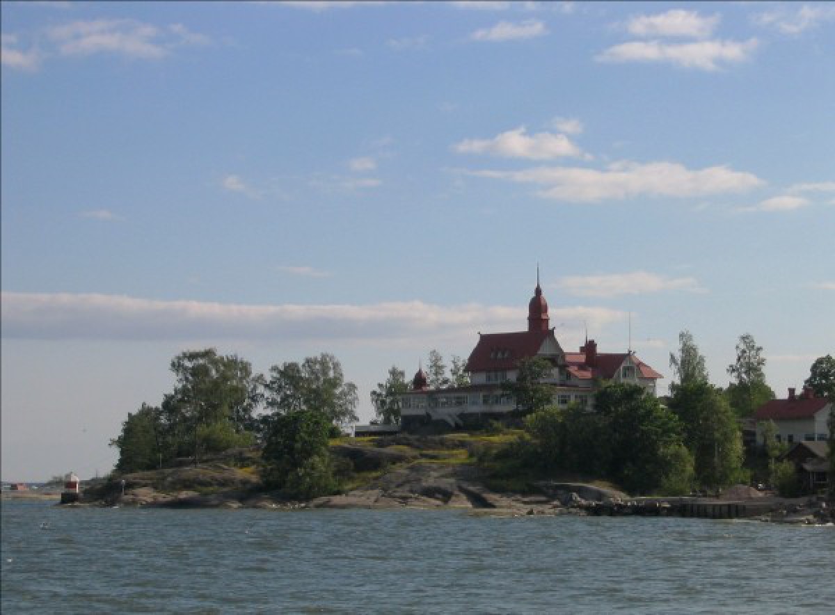
Finland, the sixth largest country in Europe, occupies an area of 338,312 sq km (130,622 square miles) — about twice the size of the United Kingdom. Its coastline, excluding indentations, is 1,100 kilometers long. Finland is bordered on the east and southeast by the Russian Federation, on the west by Sweden and the Gulf of Bothnia, on the north by Norway and on the south by the Gulf of Finland. Most of the country is low but not necessarily flat. Because the soil (mainly moraine deposits from ice age glaciers) is very thin the topography reflects the contours of the Archean bedrock. Elevations greater than 640 meters (2,100 ft) are found along the northwestern frontier with Norway, and in the extreme northern region of Lapland. Most of Finland’s 60,000 lakes, comprising 10% of the total area, lie in the southern half of the country and provide important waterways and log floating routes. An extensive and imposing archipelago, reaching from the Russian border on the south, westward to the Aland Islands and there northward, provides an important fishing and vacation area known for its magnitude and grandeur.Another impressive physical feature and natural resource of Finland is its forests which cover 65% of the land area (the highest percentage in Europe). The forests of Finland are mainly coniferous; a limited area in the south and southwest contains hardwood deciduous trees. In Lapland, the spruce and pines disappear and dwarf birch usually forms the timberline.
Geography - note
Long boundary with Russia; Helsinki is northernmost national capital on European continent; population concentrated on small southwestern coastal plainFinland Use of Natural Resources
| Geographic Location | Europe |
| Total Area |
130,558 Square Miles 338,145 Square Kilometers |
| Land Area |
117,303 Square Miles 303,815 Square Kilometers |
| Water Area |
13,255 Square Miles 34,330 Square Kilometers |
| Land Boundaries |
1,649 Miles 2,654 Kilometers |
| Irrigated Land |
264 Square Miles 685 Square Kilometers |
| Border Countries | Norway 729 km, Sweden 586 km, Russia 1,313 km |
| Coastline |
777 Miles 1,250 Kilometers |
| Geographic Coordinates | 64 00 N, 26 00 E |
| Terrain | Mostly low, flat to rolling plains interspersed with lakes and low hills |
| Highest Point | 1,328 Meters |
| Highest Point Location | Halti 1,328 m |
| Lowest Point Location | Baltic Sea 0 m |
| Natural Resources | Timber, iron ore, copper, lead, zinc, chromite, nickel, gold, silver, limestone |
| Time Zone | UTC+2 (7 hours ahead of Washington, DC, during Standard Time) |
| Daylight saving time | +1hr, begins last Sunday in March; ends last Sunday in October |
World Regions
All Countries
Afghanistan
Akrotiri
Albania
Algeria
American Samoa
Andorra
Angola
Anguilla
Antarctica
Antigua and Barbuda
Argentina
Armenia
Aruba
Australia
Austria
Azerbaijan
Bahamas
Bahrain
Bangladesh
Barbados
Belarus
Belgium
Belize
Benin
Bermuda
Bhutan
Bolivia
Bosnia and Herzegovina
Botswana
Brazil
British Indian Ocean Territory
British Virgin Islands
Brunei
Bulgaria
Burkina Faso
Burma
Burundi
Cabo Verde
Cambodia
Cameroon
Canada
Cayman Islands
Central African Republic
Chad
Chile
China
Christmas Island
Clipperton Island
Cocos (Keeling) Islands
Colombia
Comoros
Congo, Democratic Republic of the
Congo, Republic of the
Cook Islands
Coral Sea Islands
Costa Rica
Cote d’Ivoire
Croatia
Cuba
Curacao
Cyprus
Czech Republic
Denmark
Dhekelia
Djibouti
Dominica
Dominican Republic
Ecuador
Egypt
El Salvador
Equatorial Guinea
Eritrea
Estonia
Eswatini
Ethiopia
Falkland Islands
Faroe Islands
Fiji
Finland
France
French Guiana
French Polynesia
Gabon
Gambia, The
Gaza Strip
Georgia
Germany
Ghana
Gibraltar
Greece
Greenland
Grenada
Guadeloupe
Guam
Guatemala
Guernsey
Guinea
Guinea-Bissau
Guyana
Haiti
Holy See
Honduras
Hong Kong
Hungary
Iceland
India
Indonesia
Iran
Iraq
Ireland
Isle of Man
Israel
Italy
Jamaica
Jan Mayen
Japan
Jersey
Jordan
Kazakhstan
Kenya
Kiribati
Korea, North
Korea, South
Kosovo
Kuwait
Kyrgyzstan
Laos
Latvia
Lebanon
Lesotho
Liberia
Libya
Liechtenstein
Lithuania
Luxembourg
Macau
Madagascar
Malawi
Malaysia
Maldives
Mali
Malta
Marshall Islands
Martinique
Mauritania
Mauritius
Mayotte
Mexico
Micronesia
Moldova
Monaco
Mongolia
Montenegro
Montserrat
Morocco
Mozambique
Namibia
Nauru
Nepal
Netherlands
New Caledonia
New Zealand
Nicaragua
Niger
Nigeria
Niue
Norfolk Island
North Macedonia
Northern Mariana Islands
Norway
Oman
Pakistan
Palau
Panama
Papua New Guinea
Paraguay
Peru
Philippines
Pitcairn Islands
Poland
Portugal
Puerto Rico
Qatar
Reunion
Romania
Russia
Rwanda
Saint Helena, Ascension, and Tristan da Cunha
Saint Kitts and Nevis
Saint Lucia
Saint Pierre and Miquelon
Saint Vincent and the Grenadines
Samoa
San Marino
Sao Tome and Principe
Saudi Arabia
Senegal
Serbia
Seychelles
Sierra Leone
Singapore
Slovakia
Slovenia
Solomon Islands
Somalia
South Africa
Spain
Sri Lanka
Sudan
Sudan, South
Suriname
Svalbard
Sweden
Switzerland
Syria
Taiwan
Tajikistan
Tanzania
Thailand
Timor-Leste
Togo
Tokelau
Tonga
Trinidad and Tobago
Tunisia
Turkey
Turkmenistan
Turks and Caicos Islands
Tuvalu
Uganda
Ukraine
United Arab Emirates
United Kingdom
United States (US)
Uruguay
Uzbekistan
Vanuatu
Venezuela
Vietnam
Virgin Islands
Wake Island
Wallis and Futuna
West Bank
Western Sahara
World
Yemen
Zambia
Zimbabwe