
Cuba Geography
What is the terrain and geography like in Cuba?
Overview
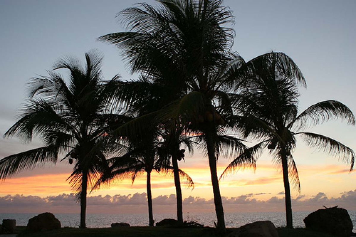
With an area of more than 44,000 square miles (114,447 sq. km.), Cuba is the largest island in the West Indies, accounting for more than one-half of the total Caribbean land mass. The island is more than 745 miles (1,200 km.) long and ranges from 20 to 125 miles (35-200 km.) in width. Cuba's coastline is highly uneven and is broken into hundreds of bays, inlets, and narrow, shallow rivers. The Isle of Youth (known as the Isle of Pines in pre-Revolution days), and some 1,600 keys and islets lie offshore. The deep-water harbors of Havana, Guantánamo, and Bahía Honda rank among the world's finest.Topographically, three-fifths of Cuba displays flat or gently rolling fields and wide, fertile valleys--ideal for sugar cane and tobacco that have been the agricultural staples of the Cuban economy. The northern coast is low and somewhat rocky; the southern coast is more marshy. Most of what remains, particularly at the southeastern end of the island, forms steep and at times formidable mountains. Three mountain ranges dominate the Cuban terrain, but by far the best known and most rugged is the eastern Sierra Maestra, where peaks rise to almost 6,000 feet (1,829 m.) above sea level.
Geography - note
The largest country in the Caribbean and the westernmost island of the Greater AntillesCuba Use of Natural Resources
| Geographic Location | The Caribbean |
| Total Area |
42,803 Square Miles 110,860 Square Kilometers |
| Land Area |
42,402 Square Miles 109,820 Square Kilometers |
| Water Area |
402 Square Miles 1,040 Square Kilometers |
| Land Boundaries |
18 Miles 29 Kilometers |
| Irrigated Land |
3,360 Square Miles 8,703 Square Kilometers |
| Border Countries |
United States Naval Base at Guantanamo Bay 29 km Note: Guantanamo Naval Base is leased by the United States and remains part of Cuba |
| Coastline |
2,321 Miles 3,735 Kilometers |
| Geographic Coordinates | 21 30 N, 80 00 W |
| Terrain | Mostly flat to rolling plains, with rugged hills and mountains in the southeast |
| Highest Point | 2,005 Meters |
| Highest Point Location | Pico Turquino 2,005 m |
| Lowest Point Location | Caribbean Sea 0 m |
| Natural Resources | Cobalt, nickel, iron ore, chromium, copper, salt, timber, silica, petroleum, arable land |
| Time Zone | UTC-5 (same time as Washington, DC during Standard Time) |
| Daylight saving time | +1hr, begins second Sunday in March; ends first Sunday in November; note - Cuba has been known to alter the schedule of DST on short notice in an attempt to conserve electricity for lighting |
World Regions
All Countries
Afghanistan
Akrotiri
Albania
Algeria
American Samoa
Andorra
Angola
Anguilla
Antarctica
Antigua and Barbuda
Argentina
Armenia
Aruba
Australia
Austria
Azerbaijan
Bahamas
Bahrain
Bangladesh
Barbados
Belarus
Belgium
Belize
Benin
Bermuda
Bhutan
Bolivia
Bosnia and Herzegovina
Botswana
Brazil
British Indian Ocean Territory
British Virgin Islands
Brunei
Bulgaria
Burkina Faso
Burma
Burundi
Cabo Verde
Cambodia
Cameroon
Canada
Cayman Islands
Central African Republic
Chad
Chile
China
Christmas Island
Clipperton Island
Cocos (Keeling) Islands
Colombia
Comoros
Congo, Democratic Republic of the
Congo, Republic of the
Cook Islands
Coral Sea Islands
Costa Rica
Cote d’Ivoire
Croatia
Cuba
Curacao
Cyprus
Czech Republic
Denmark
Dhekelia
Djibouti
Dominica
Dominican Republic
Ecuador
Egypt
El Salvador
Equatorial Guinea
Eritrea
Estonia
Eswatini
Ethiopia
Falkland Islands
Faroe Islands
Fiji
Finland
France
French Guiana
French Polynesia
Gabon
Gambia, The
Gaza Strip
Georgia
Germany
Ghana
Gibraltar
Greece
Greenland
Grenada
Guadeloupe
Guam
Guatemala
Guernsey
Guinea
Guinea-Bissau
Guyana
Haiti
Holy See
Honduras
Hong Kong
Hungary
Iceland
India
Indonesia
Iran
Iraq
Ireland
Isle of Man
Israel
Italy
Jamaica
Jan Mayen
Japan
Jersey
Jordan
Kazakhstan
Kenya
Kiribati
Korea, North
Korea, South
Kosovo
Kuwait
Kyrgyzstan
Laos
Latvia
Lebanon
Lesotho
Liberia
Libya
Liechtenstein
Lithuania
Luxembourg
Macau
Madagascar
Malawi
Malaysia
Maldives
Mali
Malta
Marshall Islands
Martinique
Mauritania
Mauritius
Mayotte
Mexico
Micronesia
Moldova
Monaco
Mongolia
Montenegro
Montserrat
Morocco
Mozambique
Namibia
Nauru
Nepal
Netherlands
New Caledonia
New Zealand
Nicaragua
Niger
Nigeria
Niue
Norfolk Island
North Macedonia
Northern Mariana Islands
Norway
Oman
Pakistan
Palau
Panama
Papua New Guinea
Paraguay
Peru
Philippines
Pitcairn Islands
Poland
Portugal
Puerto Rico
Qatar
Reunion
Romania
Russia
Rwanda
Saint Helena, Ascension, and Tristan da Cunha
Saint Kitts and Nevis
Saint Lucia
Saint Pierre and Miquelon
Saint Vincent and the Grenadines
Samoa
San Marino
Sao Tome and Principe
Saudi Arabia
Senegal
Serbia
Seychelles
Sierra Leone
Singapore
Slovakia
Slovenia
Solomon Islands
Somalia
South Africa
Spain
Sri Lanka
Sudan
Sudan, South
Suriname
Svalbard
Sweden
Switzerland
Syria
Taiwan
Tajikistan
Tanzania
Thailand
Timor-Leste
Togo
Tokelau
Tonga
Trinidad and Tobago
Tunisia
Turkey
Turkmenistan
Turks and Caicos Islands
Tuvalu
Uganda
Ukraine
United Arab Emirates
United Kingdom
United States (US)
Uruguay
Uzbekistan
Vanuatu
Venezuela
Vietnam
Virgin Islands
Wake Island
Wallis and Futuna
West Bank
Western Sahara
World
Yemen
Zambia
Zimbabwe