
Brunei Geography
What is the terrain and geography like in Brunei?
Overview
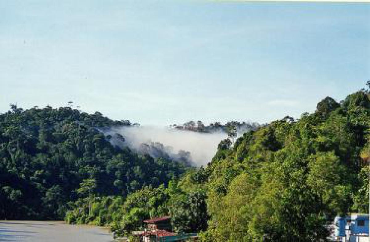
Brunei occupies 3,459 square miles on the northern coast of the Island of Borneo and is 350 statute miles north of the Equator at 5º North, 115º East. Brunei is comprised of two separate areas: the capital area and a thinly populated enclave to the east consisting mostly of jungle. Separating the two is a salient of the Malaysian state of Sarawak, which on the landward side surrounds both parts of Brunei. To the north of Brunei lies the South China Sea. The country has four districts: Belait, Tutong, Brunei and Muara, and Temburong.Brunei’s oil and gas fields are centered in the towns of Seria and Kuala Belait, approximately 67 miles southwest of the capital, as well as offshore. Other large towns include Tutong, midway between Bandar Seri Begawan and Kuala Belait, and Bangar in the Temburong District.
Geography - note
Close to vital sea lanes through the South China Sea linking the Indian and Pacific Oceans; two parts physically separated by Malaysia; almost an enclave within MalaysiaBrunei Use of Natural Resources
| Geographic Location | Southeast Asia |
| Total Area |
2,226 Square Miles 5,765 Square Kilometers |
| Land Area |
2,033 Square Miles 5,265 Square Kilometers |
| Water Area |
193 Square Miles 500 Square Kilometers |
| Land Boundaries |
237 Miles 381 Kilometers |
| Irrigated Land |
4 Square Miles 10 Square Kilometers |
| Border Countries | Malaysia 381 km |
| Coastline |
100 Miles 161 Kilometers |
| Geographic Coordinates | 4 30 N, 114 40 E |
| Terrain | Flat coastal plain rises to mountains in east; hilly lowland in west |
| Highest Point | 1,850 Meters |
| Highest Point Location | Bukit Pagon 1,850 m |
| Lowest Point Location | South China Sea 0 m |
| Natural Resources | Petroleum, natural gas, timber |
| Time Zone | UTC+8 (13 hours ahead of Washington, DC during Standard Time) |
World Regions
All Countries
Afghanistan
Akrotiri
Albania
Algeria
American Samoa
Andorra
Angola
Anguilla
Antarctica
Antigua and Barbuda
Argentina
Armenia
Aruba
Australia
Austria
Azerbaijan
Bahamas
Bahrain
Bangladesh
Barbados
Belarus
Belgium
Belize
Benin
Bermuda
Bhutan
Bolivia
Bosnia and Herzegovina
Botswana
Brazil
British Indian Ocean Territory
British Virgin Islands
Brunei
Bulgaria
Burkina Faso
Burma
Burundi
Cabo Verde
Cambodia
Cameroon
Canada
Cayman Islands
Central African Republic
Chad
Chile
China
Christmas Island
Clipperton Island
Cocos (Keeling) Islands
Colombia
Comoros
Congo, Democratic Republic of the
Congo, Republic of the
Cook Islands
Coral Sea Islands
Costa Rica
Cote d’Ivoire
Croatia
Cuba
Curacao
Cyprus
Czech Republic
Denmark
Dhekelia
Djibouti
Dominica
Dominican Republic
Ecuador
Egypt
El Salvador
Equatorial Guinea
Eritrea
Estonia
Eswatini
Ethiopia
Falkland Islands
Faroe Islands
Fiji
Finland
France
French Guiana
French Polynesia
Gabon
Gambia, The
Gaza Strip
Georgia
Germany
Ghana
Gibraltar
Greece
Greenland
Grenada
Guadeloupe
Guam
Guatemala
Guernsey
Guinea
Guinea-Bissau
Guyana
Haiti
Holy See
Honduras
Hong Kong
Hungary
Iceland
India
Indonesia
Iran
Iraq
Ireland
Isle of Man
Israel
Italy
Jamaica
Jan Mayen
Japan
Jersey
Jordan
Kazakhstan
Kenya
Kiribati
Korea, North
Korea, South
Kosovo
Kuwait
Kyrgyzstan
Laos
Latvia
Lebanon
Lesotho
Liberia
Libya
Liechtenstein
Lithuania
Luxembourg
Macau
Madagascar
Malawi
Malaysia
Maldives
Mali
Malta
Marshall Islands
Martinique
Mauritania
Mauritius
Mayotte
Mexico
Micronesia
Moldova
Monaco
Mongolia
Montenegro
Montserrat
Morocco
Mozambique
Namibia
Nauru
Nepal
Netherlands
New Caledonia
New Zealand
Nicaragua
Niger
Nigeria
Niue
Norfolk Island
North Macedonia
Northern Mariana Islands
Norway
Oman
Pakistan
Palau
Panama
Papua New Guinea
Paraguay
Peru
Philippines
Pitcairn Islands
Poland
Portugal
Puerto Rico
Qatar
Reunion
Romania
Russia
Rwanda
Saint Helena, Ascension, and Tristan da Cunha
Saint Kitts and Nevis
Saint Lucia
Saint Pierre and Miquelon
Saint Vincent and the Grenadines
Samoa
San Marino
Sao Tome and Principe
Saudi Arabia
Senegal
Serbia
Seychelles
Sierra Leone
Singapore
Slovakia
Slovenia
Solomon Islands
Somalia
South Africa
Spain
Sri Lanka
Sudan
Sudan, South
Suriname
Svalbard
Sweden
Switzerland
Syria
Taiwan
Tajikistan
Tanzania
Thailand
Timor-Leste
Togo
Tokelau
Tonga
Trinidad and Tobago
Tunisia
Turkey
Turkmenistan
Turks and Caicos Islands
Tuvalu
Uganda
Ukraine
United Arab Emirates
United Kingdom
United States (US)
Uruguay
Uzbekistan
Vanuatu
Venezuela
Vietnam
Virgin Islands
Wake Island
Wallis and Futuna
West Bank
Western Sahara
World
Yemen
Zambia
Zimbabwe