Philippines Geography
What is the terrain and geography like in Philippines?
Overview
The Philippines is composed of 7,107 separate islands (7,106 during high tide), only 880 of which are inhabited. The three major geographical areas in the Philippines are the large island of Luzon in the north, which includes Manila; the large island of Mindanao in the south; and the group of islands lying between them, known as the Visayas. The three stars on the Philippine flag symbolize these three areas.The island geography of the Philippines includes about 21,000 miles of natural coastline. Much of the coastal area is rugged and irregular, punctuated by numerous natural harbors and picturesque coves. The Philippines also has some of the most spectacular beaches to be found in the South Pacific. Sites that would live up to anyone's fantasy of a pristine South Pacific paradise of white sand beaches and crystal blue waters, they are a popular destination for tourists from around the world. Unfortunately, the heavy pollution and rocky coastline of Manila Bay render the metro Manila area itself unsuited for leisurely Sundays at the beach.
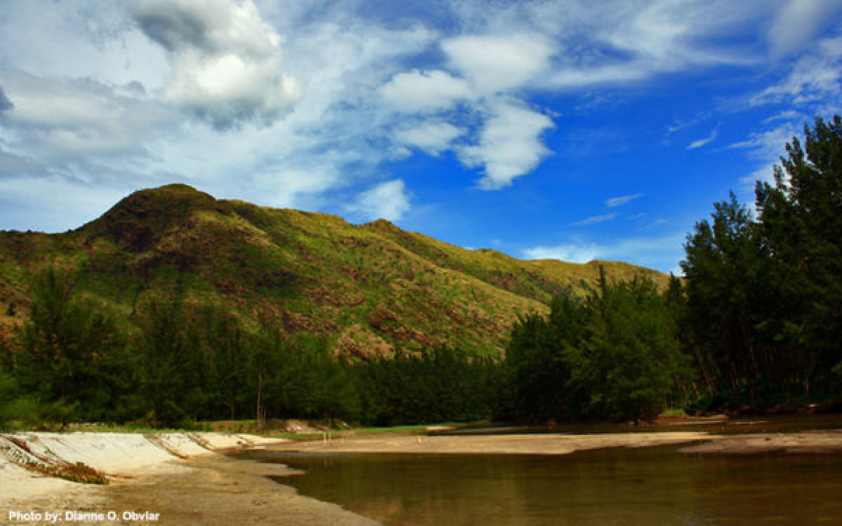
The interior of the country is generally mountainous, with several mountain peaks reaching almost 10,000 feet. In addition, the Philippines has extensive fertile plains along the coast and in the center of the country. It also features lush and scenic rolling hills, with rich valleys crossed by rivers. There are numerous volcanoes in the country, and some are frequently active. The most recent and infamous example was the eruption of Mt. Pinatubo on June 12, 1991, which was the largest volcanic eruption of the century. The Mt. Pinatubo eruption permanently altered the topography of northern Luzon and continues to cause flood control problems.
Minor earth tremors occur frequently. In 1969 and 1970, major earthquakes hit Manila, resulting in moderate damage and some loss of life. In January 1982, an earthquake measuring 6.8 on the Richter scale hit Northern Bicol. In August 1983, an earthquake measuring 5.7 occurred in Ilocos Norte. Both caused extensive property damage and loss of life. On July 16, 1990, one of the largest and most destructive earthquakes ever to hit the Philippines struck in Central Luzon. At its epicenter near Cabanatuan, it measured 8.0 on the Richter scale. This "killer earthquake" caused great destruction and loss of life in Baguio and some other cities of Central Luzon but did not seriously damage Manila.
The Philippines is a country rich with unique tropical rain forests and coral reefs. It has been referred to as the Galapagos Islands times ten. It hosts more than 510 species of mammals, birds, reptiles, and amphibians that exist nowhere else on earth. The country is also on the East Asian Migratory Flyway for birds that travel from the south pole to the north pole and back again each year. The Olango Island Wildlife Sanctuary, just minutes from Cebu City, has won international ecotourism awards for its educational tours and conservation efforts. Scuba diving and snorkeling on the biologically diverse coral reefs are also popular activities, with good resorts and coral reefs within driving distance from Manila.
Less than 18% of the land area remains covered by forests-only about 5 million hectares. And only 800,000 hectares of this forest is considered old growth forest. These natural resources provide the basis for food security and employment for millions of Filipinos.
Geography - note
the Philippine archipelago is made up of 7,107 islands; favorably located in relation to many of Southeast Asia's main water bodies: the South China Sea, Philippine Sea, Sulu Sea, Celebes Sea, and Luzon StraitPhilippines Use of Natural Resources
| Geographic Location | Southeast Asia |
| Total Area |
115,830 Square Miles 300,000 Square Kilometers |
| Land Area |
115,123 Square Miles 298,170 Square Kilometers |
| Water Area |
707 Square Miles 1,830 Square Kilometers |
| Irrigated Land |
7,255 Square Miles 18,790 Square Kilometers |
| Coastline |
22,549 Miles 36,289 Kilometers |
| Geographic Coordinates | 13 00 N, 122 00 E |
| Terrain | mostly mountains with narrow to extensive coastal lowlands |
| Highest Point | 2,954 Meters |
| Highest Point Location | Mount Apo 2,954 m |
| Lowest Point Location | Philippine Sea 0 m |
| Natural Resources | timber, petroleum, nickel, cobalt, silver, gold, salt, copper |
| Time Zone | UTC+8 (13 hours ahead of Washington, DC, during Standard Time) |

